Field notes,
by the calendar
Every flight, scan and shoot, logged on the day it happened. Browse the timeline, or open the month and read by date.


.jpg)



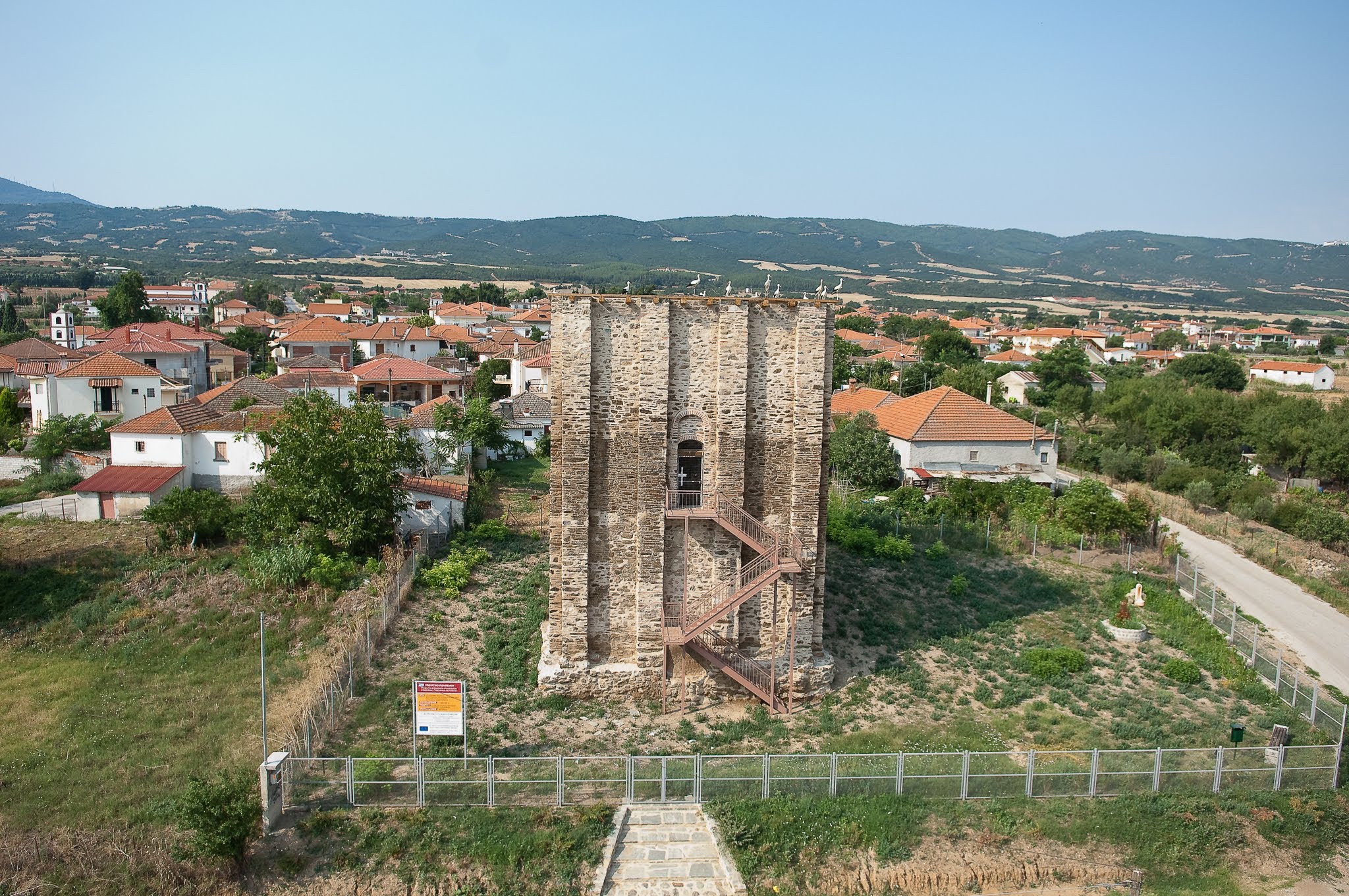
Mapping the Tower of Marianos in Agios Vasilios
Field journal documenting the aerial survey of the historic Byzantine Tower of Marianos near Agios Vasilios and Olynthos.
Alexandroupoli Coastal Development and Civil Infrastructure
Tracking large-scale civil works, residential construction, and coastline structures from the air in Alexandroupoli.
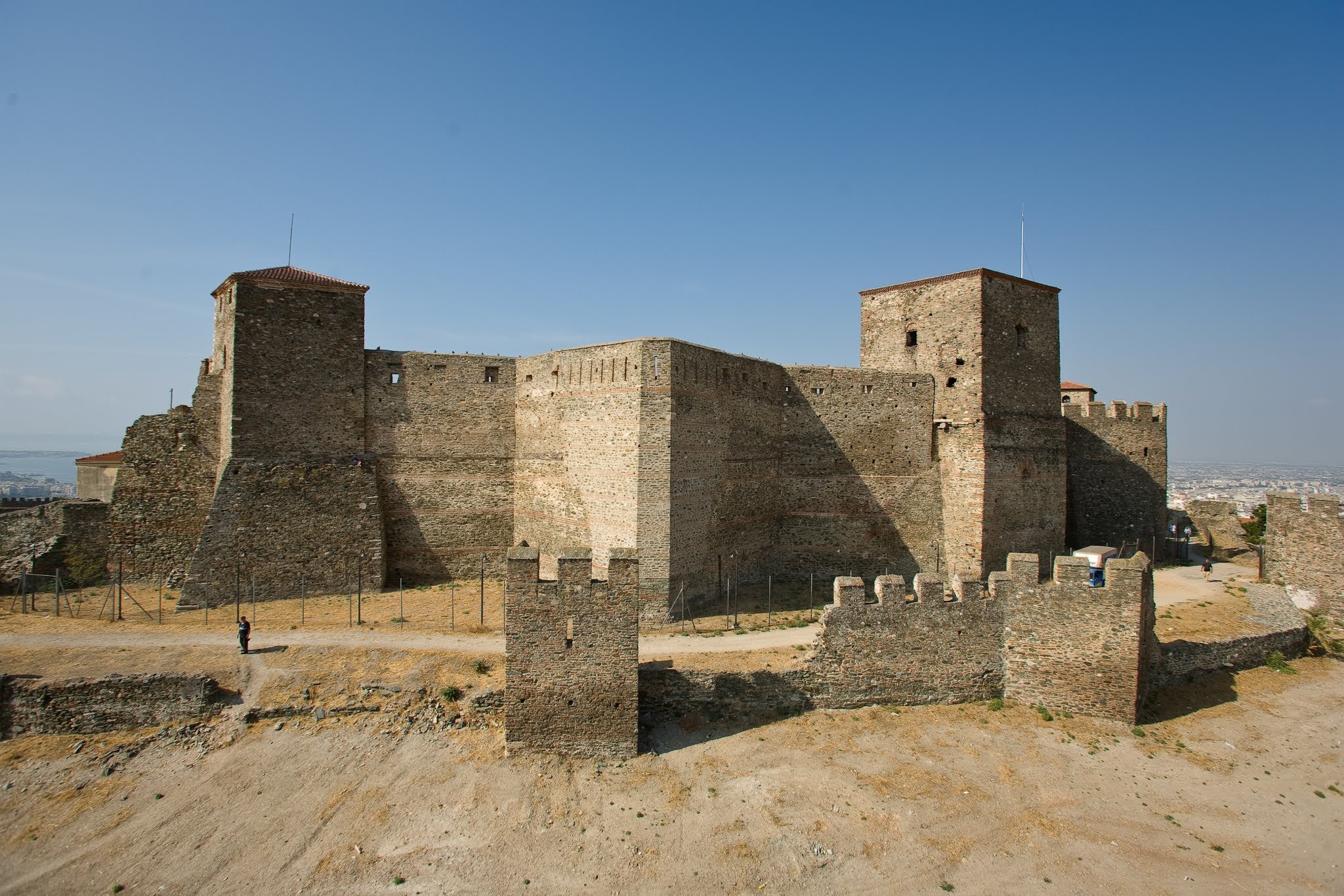
Heptapyrgion Fortress: Mapping Thessaloniki's Byzantine Walls
Spatial mapping and high-resolution documentation of the Heptapyrgion Fortress walls overlooking the Thermaic Gulf.
First Test Flight of the HeliCam Drone System
Technical notes and behind-the-scenes look at the initial calibration and test flights of our custom RC camera helicopter.

Gynaikokastro Castle: High-Angle Fortification Mapping
Aerial photogrammetry of the ruined medieval stone fortifications and tower of Gynaikokastro Castle in Kilkis.
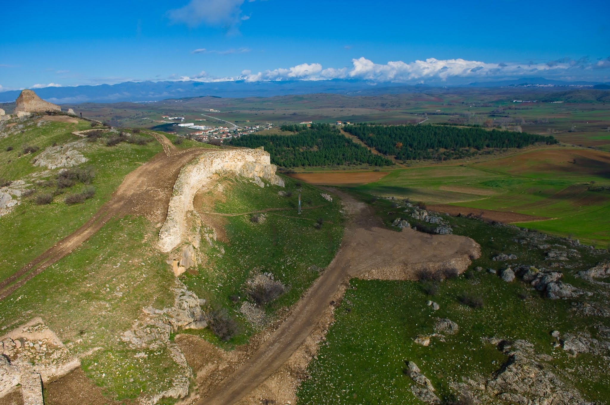
Komotini Regional Mapping and Photogrammetry
High-altitude landscape and terrain mapping in the Komotini region to support geographic and site planning.
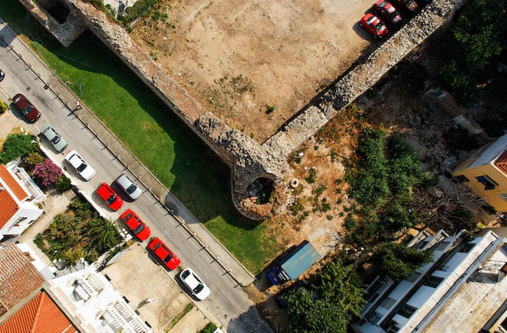
Maxim Resort Aerial Documentation
Visual progress tracking and architectural aerials of modern commercial hospitality structures.

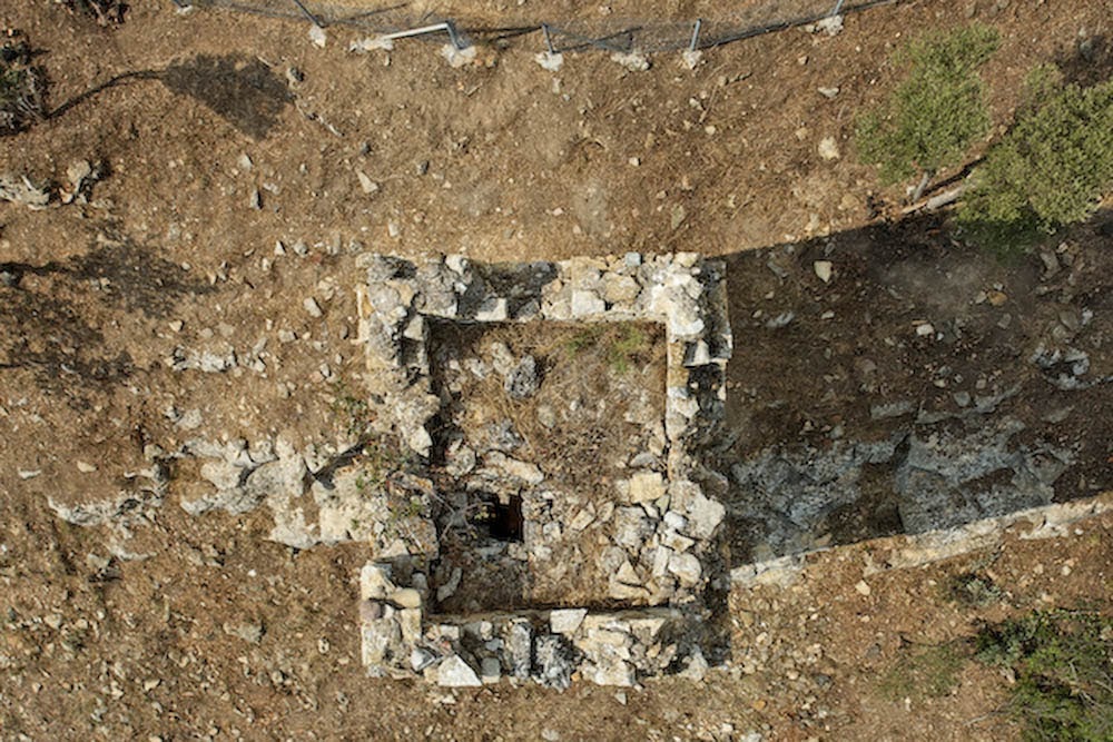
Maximianoupoli: Excavating an Early Christian Basilica
Nadir mapping and technical documentation of active excavations at the early Christian basilica in Maximianoupoli.
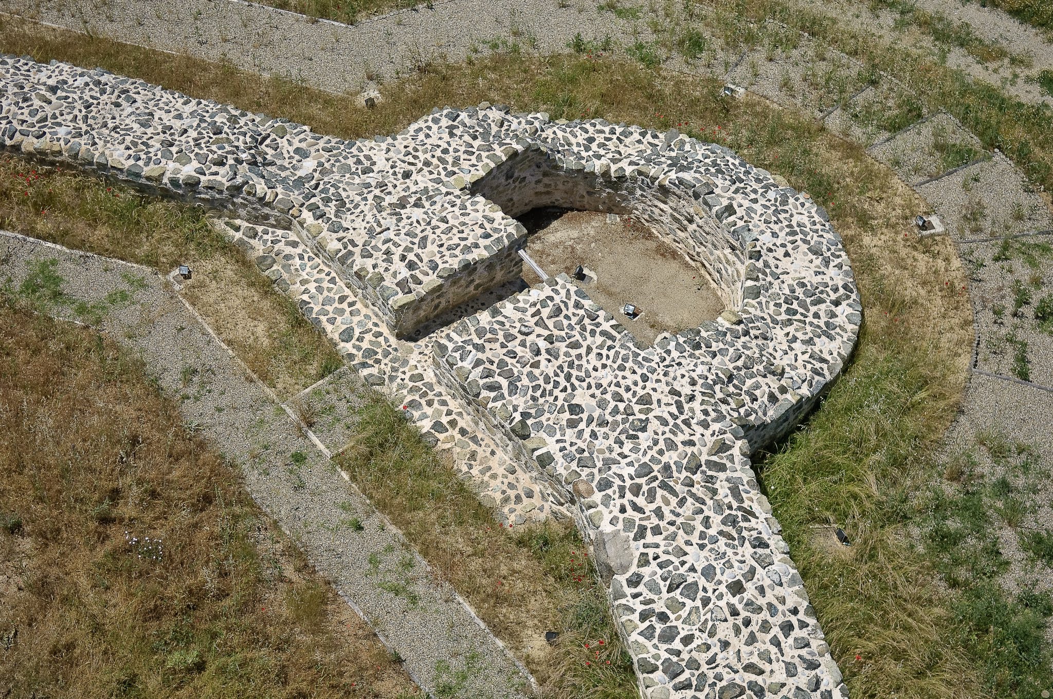
The Venizelou Metro Station Rescue Excavations
Documenting Thessaloniki's ancient urban history unearthed within the Metro construction site.

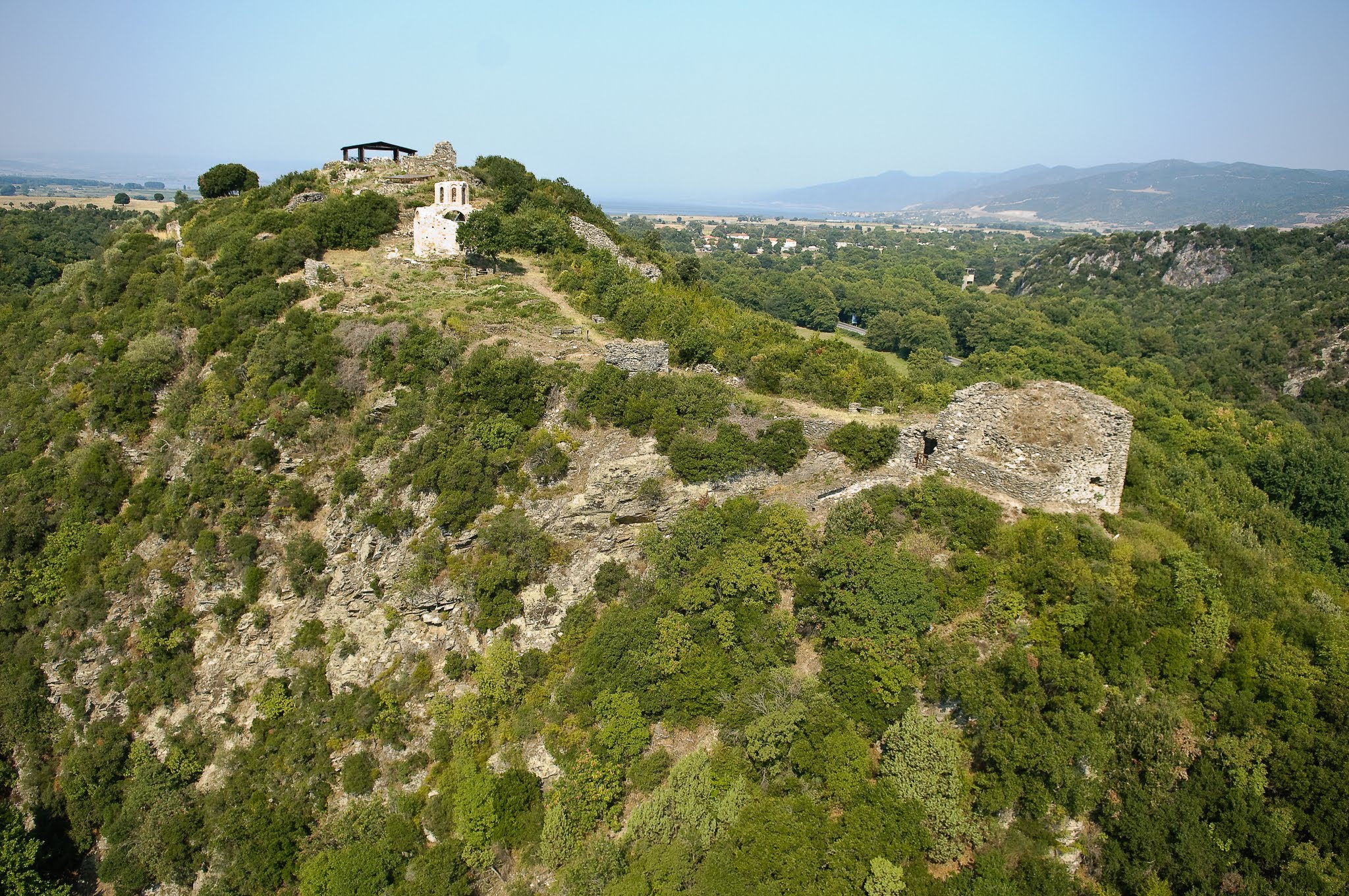
Byzantine Castle of Rentina: Hidden in the Forest
Field notes from documenting the sprawling medieval walls and church ruins of Rentina Castle.

Servia medieval fortress: Mapping the Gorges
Aerial mapping of the Servia fortress stone ruins perched on steep ridges overlooking Lake Polyfytos.
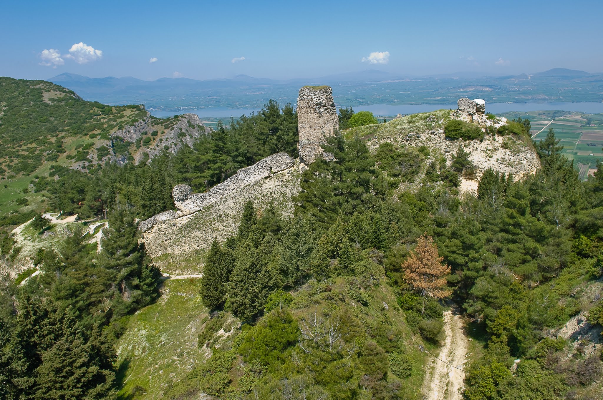
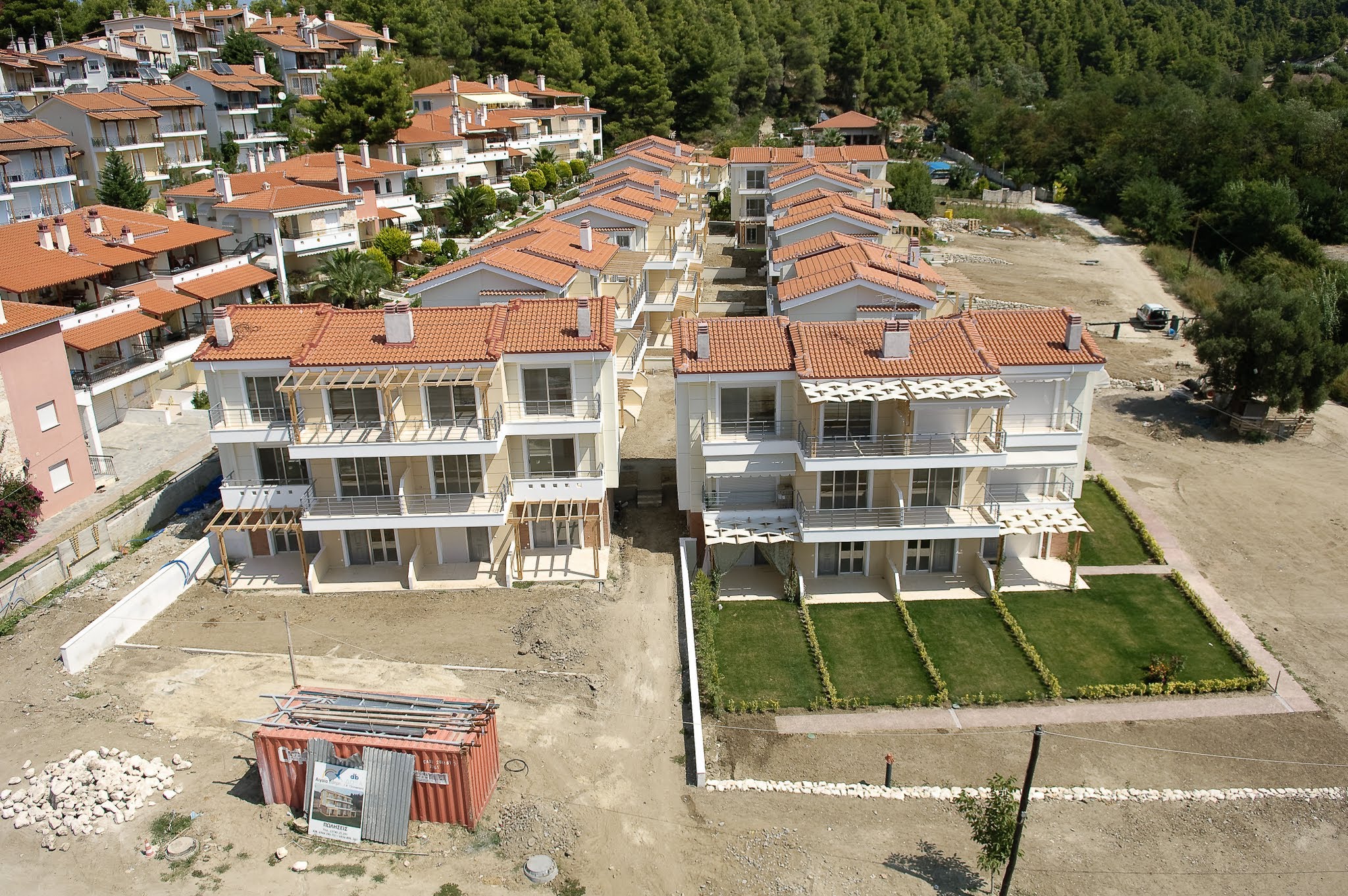
Siviri Coastal Infrastructure and Real Estate Mapping
Aerial progress tracking of modern residential developments and seaside resorts in Siviri.
HeliCam: Custom 2-Meter RC Aerial Platform
Pioneering high-quality aerial photography in Europe utilizing custom-built 2-meter remote-controlled helicopters and robotic camera mounts.

Eclectic Spaces: Photographing an Urban Pop-Art Airbnb
Behind the scenes of an architectural photoshoot capturing a retro, high-energy pop-art apartment in the heart of Thessaloniki.

Cozy in the Cold: Vasilitsa Ski Resort Hospitality
Photographing warm timber interiors and challenging snow-covered exterior environments at the Vasilitsa ski chalets.


