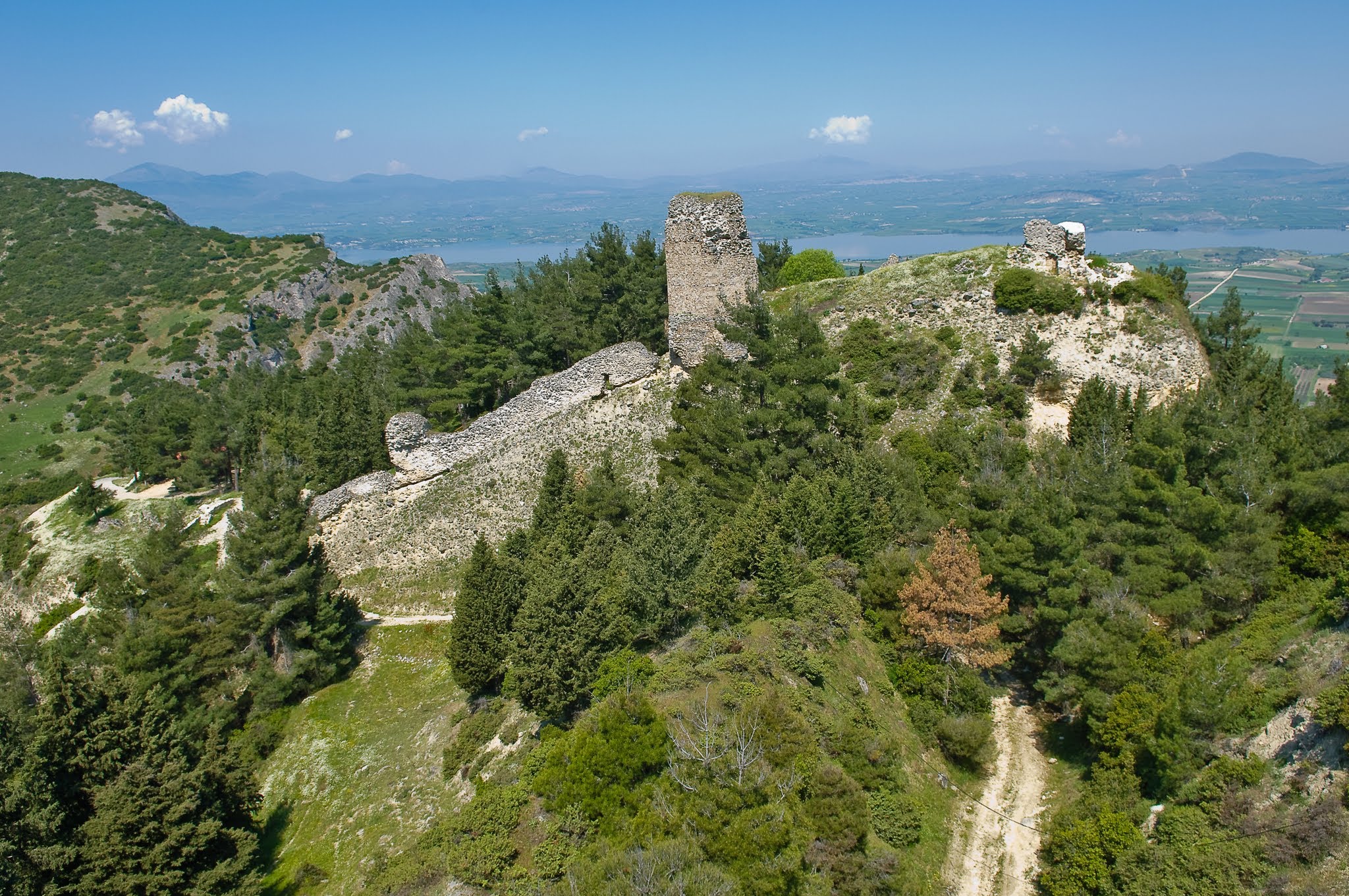
Servia medieval fortress: Mapping the Gorges
Aerial mapping of the Servia fortress stone ruins perched on steep ridges overlooking Lake Polyfytos.
Perched on high, dramatic cliffs near Lake Polyfytos, the medieval fortress of Servia is a spectacular defensive site.
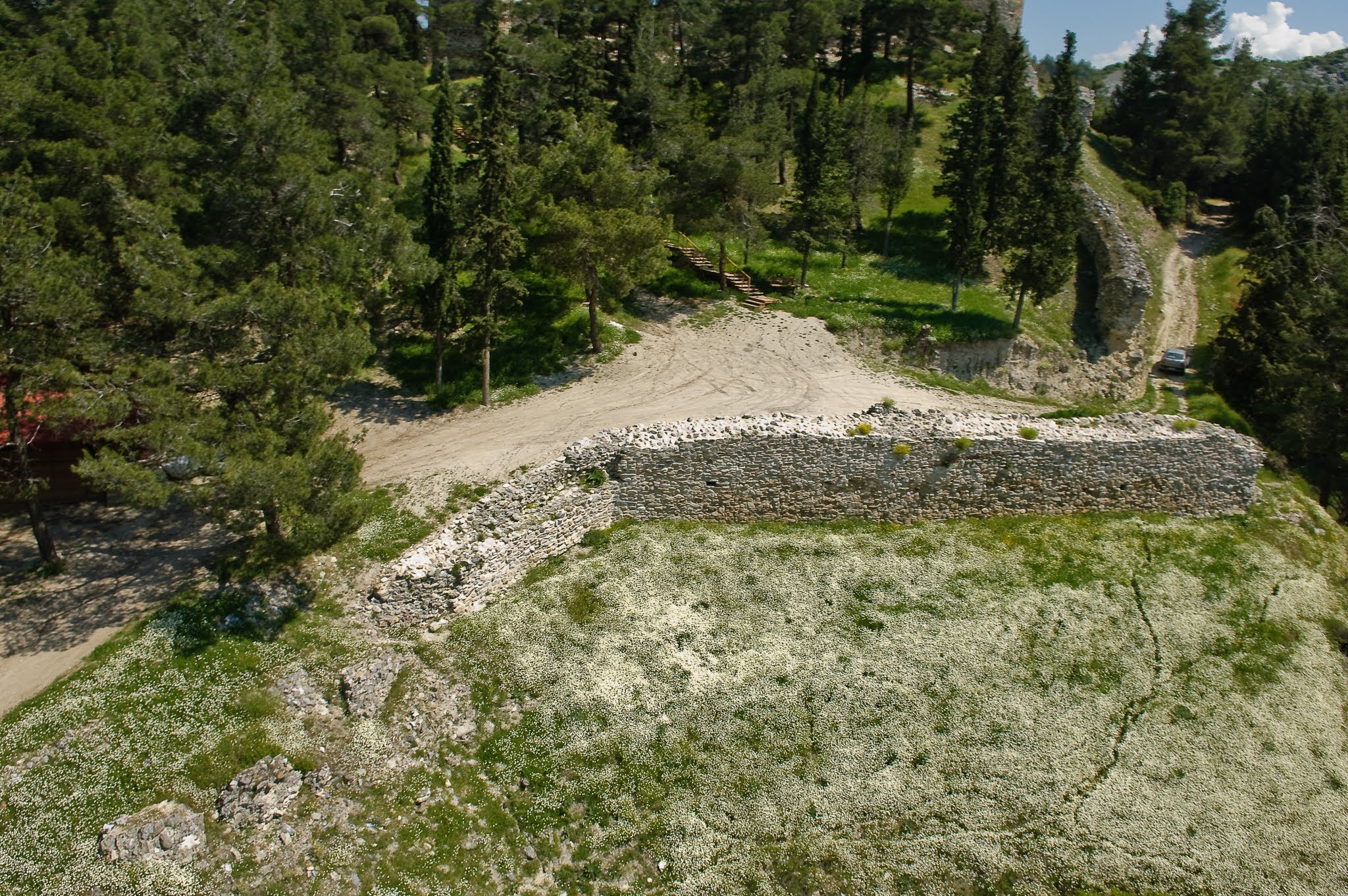
We deployed the HeliCam to map the upper fortification towers and defensive walls that follow the contours of the steep gorge. The high-altitude shots show the ruins rising out of the pine-covered slopes, linking the medieval outpost with the vast natural landscape below.


Technical Specs
- Date: June 2006
- Location: Servia, Greece
- Technology: Custom-built HeliCam Remote-Controlled Helicopter
- Imaging: DSLR Payload with Multi-Axis Gimbal Stabilization