Maximianoupoli: Excavating an Early Christian Basilica
Nadir mapping and technical documentation of active excavations at the early Christian basilica in Maximianoupoli.
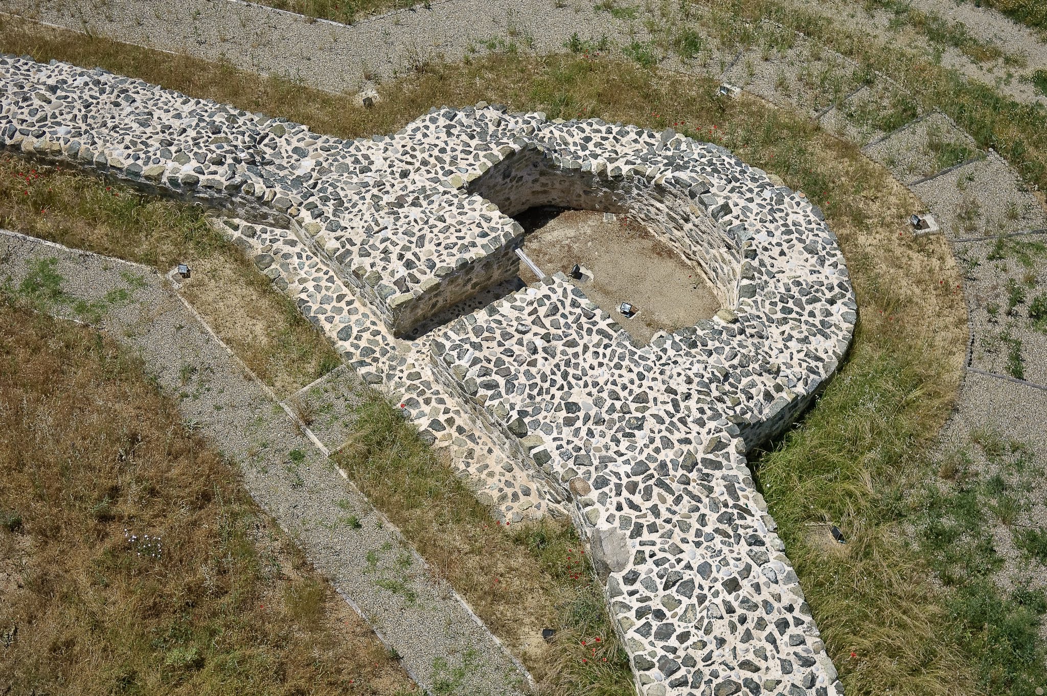
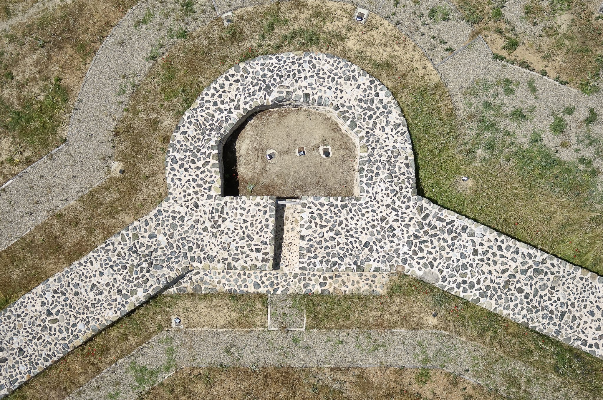
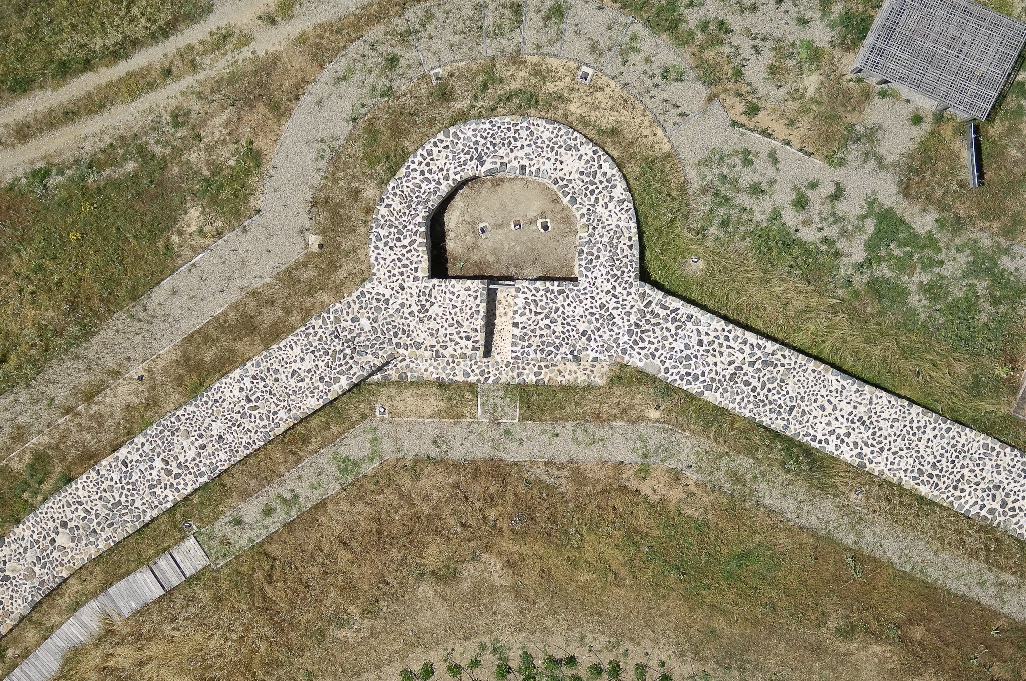
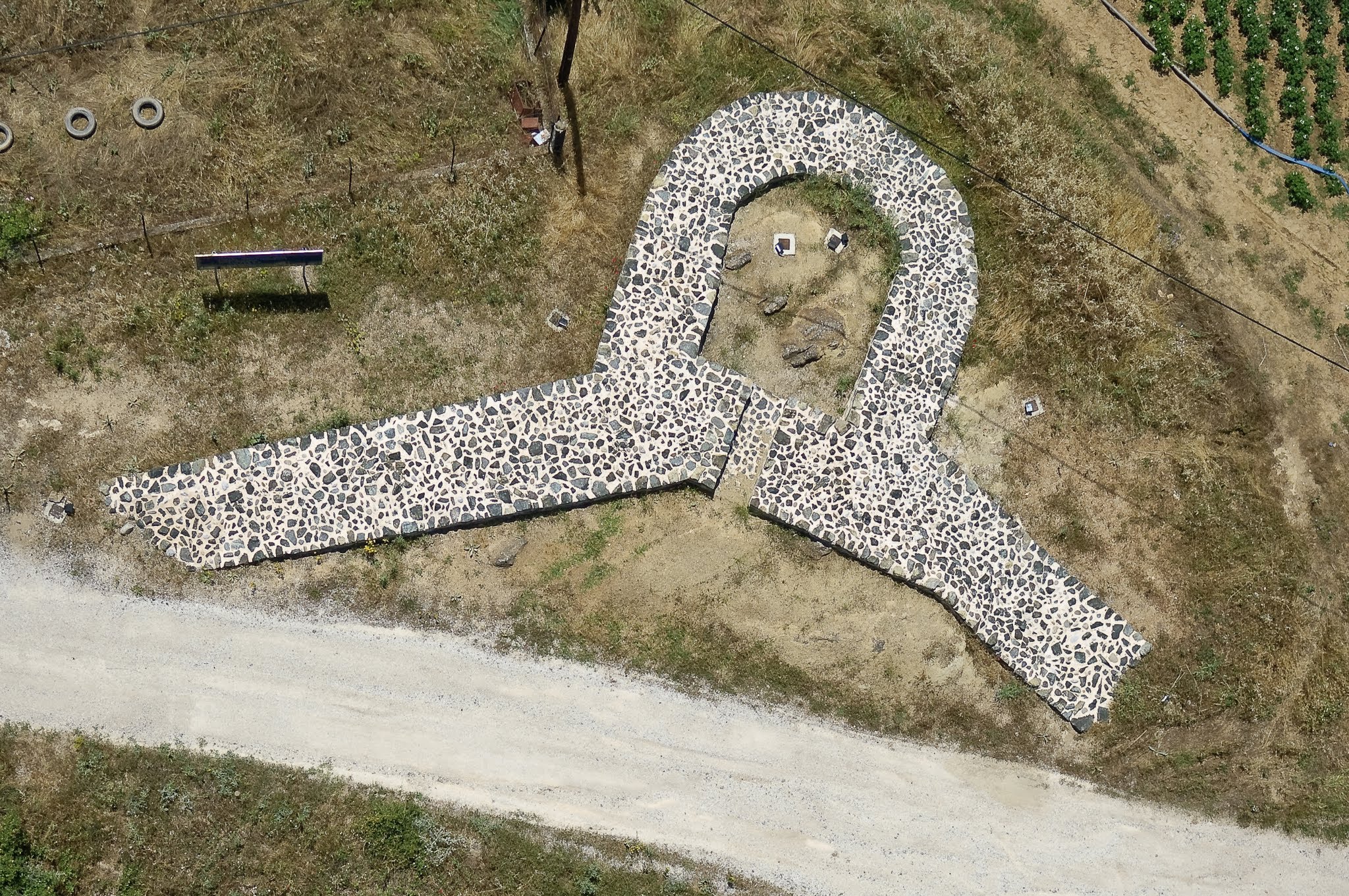
The ruins of Maximianoupoli contain significant early Christian monuments. Our mission was to document the active excavation of a large basilica foundation.
By executing precise nadir (top-down) grid flights, we captured the horseshoe-shaped apse walls and symmetrical stone foundations, providing the archaeological team with a perfect orthophoto map of the dig site.
Technical Specs
- Date: June 2006
- Location: Maximianoupoli, Greece
- Technology: Custom-built HeliCam Remote-Controlled Helicopter
- Imaging: DSLR Payload with Multi-Axis Gimbal Stabilization