Digital Imaging
Est. 1992
WorkServicesAboutJournalContact
Photography×
Komotini Regional Mapping and Photogrammetry
Photography

Komotini Regional Mapping and Photogrammetry

June 12, 2006

High-altitude landscape and terrain mapping in the Komotini region to support geographic and site planning.

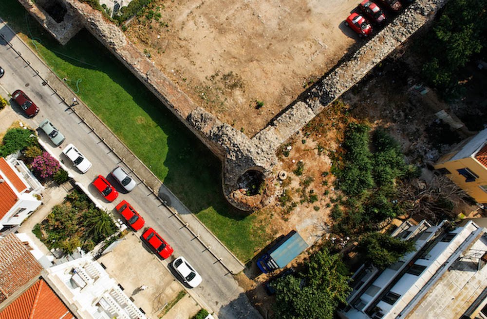
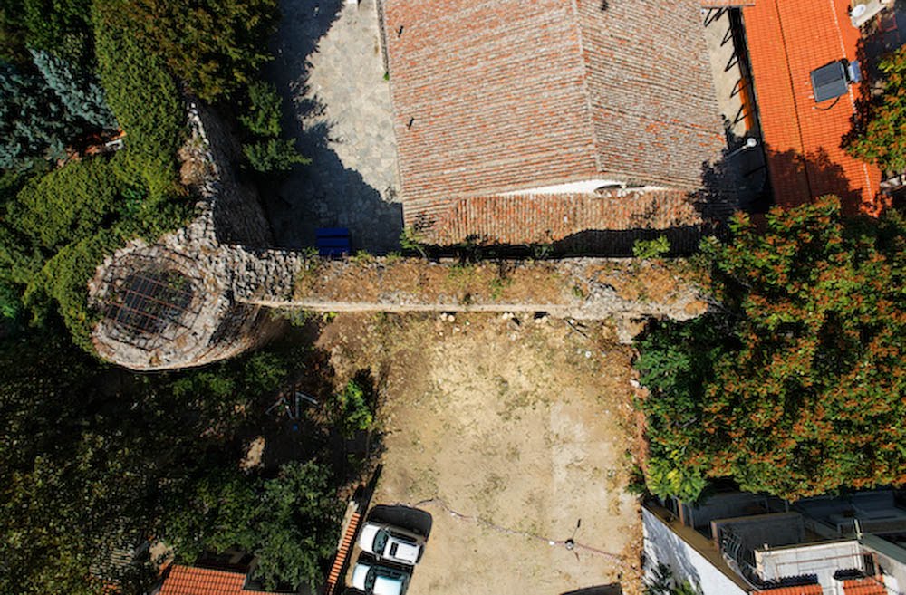
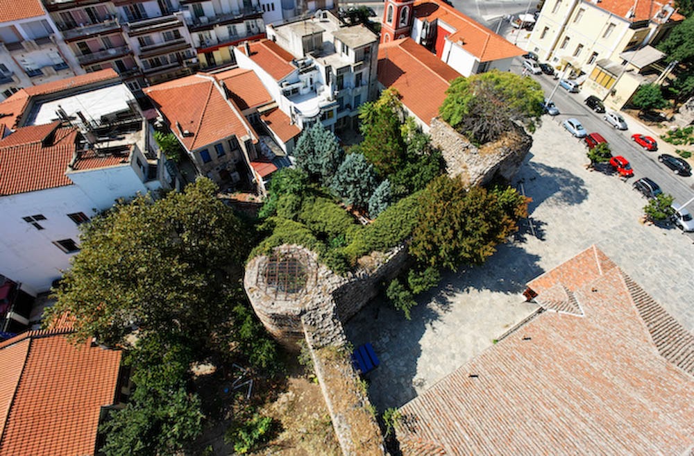
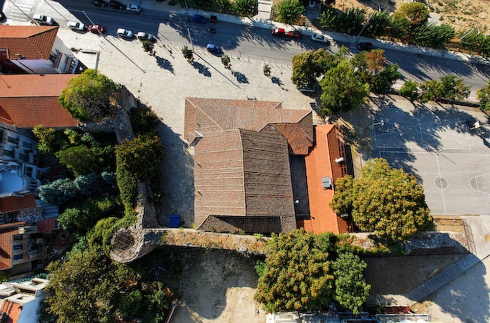
Mapping large open terrains in Komotini allowed us to test the HeliCam's capabilities for regional geography and photogrammetry.

By executing high-altitude flight paths, we captured overlapping frames that could be stitched into wide orthophotos, mapping the agricultural fields, roads, and rural structures with high precision.

Overview of Komotini Regional Mapping and Photogrammetry

A top-down aerial view of a section of Byzantine stone wall, featuring an ivy-draped circular tower, adjacent church roof, and urban courtyard in Thessaloniki.

An elevated high-angle view of a section of Thessaloniki's old city walls, showing a round tower covered in ivy, adjacent buildings, and streets with parked cars.

A top-down aerial view of a Byzantine wall segment and a church with a tiled roof, next to a paved sports court and a street in Thessaloniki.

Technical Specs

  • Date: June 2006
  • Location: Komotini, Greece
  • Technology: Custom-built HeliCam Remote-Controlled Helicopter
  • Imaging: DSLR Payload with Multi-Axis Gimbal Stabilization