Selected Work
Precise architectural 3D photogrammetry, global heritage documentation, and high-fidelity spaces.
Metro Venizelou Station Excavations (Archaeological Progressions)
Technical documentation of active archaeological excavations at the intersection of Venizelou and Egnatia streets (6th Ephorate of Byzantine Antiquities), showing the progress of revealing ancient Thessaloniki under the modern city.
Track A: SW Sector Excavation Progression (2009 → 2010)
Metro Venizelou SW 03 A
Initial structural documentation and mapping of the South-West sector excavation foundations captured in 2009.
Metro Venizelou SW 03 B
Progressed excavation state in 2010, showing deeper vertical layers and cleared foundations.
Track B: SE / SC Sector Excavation Progression (2008 → 2010)
Metro Venizelou SE (09/2008)
First stage of the South-East sector excavations recorded in September 2008.
Metro Venizelou SE (12/2008)
Progressed excavation state from December 2008, displaying cleared transverse ancient structures.
Metro Venizelou SC 03
Final architectural documentation of the central sector excavations in 2010, revealing the main Roman Decumanus Maximus.
Castles, Fortresses & Ancient Monuments
Artemision Castle, Rentina
High-resolution photogrammetry model of the Byzantine fortress guarding the Rentina Gorge captured in 2009.
Eptapyrgion Fortress (Yedi Kule)
Byzantine and Ottoman citadel overlooking Thessaloniki, showing battlements and tower structures.
Castle of Servia
Byzantine castle ruins of the fortified town of Servia, captured and processed in 3D.
Byzantine Basilica of Servia
11th-century monumental three-aisled bishopric basilica located within the castle walls.
Tower at Agios Vasilios
Detailed photogrammetric reconstruction of the 14th-century Byzantine tower on the south shore of the lake.
Palaio Gynekokastro Castle
14th-century fortress ruins built by Andronikos III Palaiologos, mapped to show stone details.
Gardens of the Pasha
Early 20th-century stone structures and paths, an example of whimsical half-ruined architecture.
Dioklitianoupoli Roman Ruins
Fortified late Roman city layout, documenting masonry, foundations, and gates.
Re-purposed Ancient Column
Detail of an ancient marble column built into later fortifications, showing classical elements in a new context.
Korean War Greek Soldiers Monument
High-fidelity model of the war memorial plaque, captured in 3D in 2014.
Syrian Heritage Archiving & 360° Photospheres
.jpg)
Cathedral of Saint Simeon Stylite
360° panoramas documenting the central octagonal courtyard containing the pillar of St. Simeon, surrounding basilica arches, and facades.
Qalb Loze Byzantine Basilica
Historic 5th-century Syrian Byzantine basilica structure, recognized as the main architectural precursor to Romanesque and Gothic styles.
St. George Byzantine Church, Izra'
Early Christian basilica completed in 515 AD, standing continuously as an active sanctuary for over 1,500 years.
Great Mosque of Damascus
Spherical panoramas showcasing the vast polished marble courtyard, Byzantine-era mosaics, minarets, and Qubbat al-Khazna (Dome of Treasury).
Roman Theatre of Bosra
Panoramic architectural documentation of the remarkably preserved 2nd-century Roman theatre built of local black basalt.
Greek Heritage & Spatial Archaeology
Sanctuary of the Great Gods
Monumental ruins of the Sanctuary complex, including columns of the Dedication of Philip III and the ancient Bouleuterion.
.jpg)
Mystras Byzantine Castle
High-dynamic-range (HDR) architectural details and photogrammetry of the medieval fortified city on Mt. Taygetos.
Gynekokastro Byzantine Fortress
360-degree aerial and ground panoramas of the 14th-century Byzantine castle ruins protecting the region.
Panagia Acheiropoietos Basilica
Natural vs. flash spatial dynamic range lighting comparisons inside the 5th-century Byzantine basilica.
Macedonian Bronze Warrior Helmet
Studio macro shots of the Archaic bronze warrior helmet with gold funerary mask from Sindos tombs.
Commercial Spaces & 360° Showrooms
Tonis Restaurant Seaside 360°
Google Trusted photospheres of the seaside garden patio, dining room, and canopy (63,000+ views).
Tiger Safes Showroom 360°
Interior professional photospheres of the safe/security showroom and storefront (44,860+ views).
Aigli Yeni Hamam Lounge 360°
Captures of the 16th-century Ottoman bath house garden lounge and bar (18,400+ views).
Arhodariki Bar Interior 360°
Winter resort alpine vistas and interior photosphere of the Arhodariki Bar at Vasilitsa ski resort.
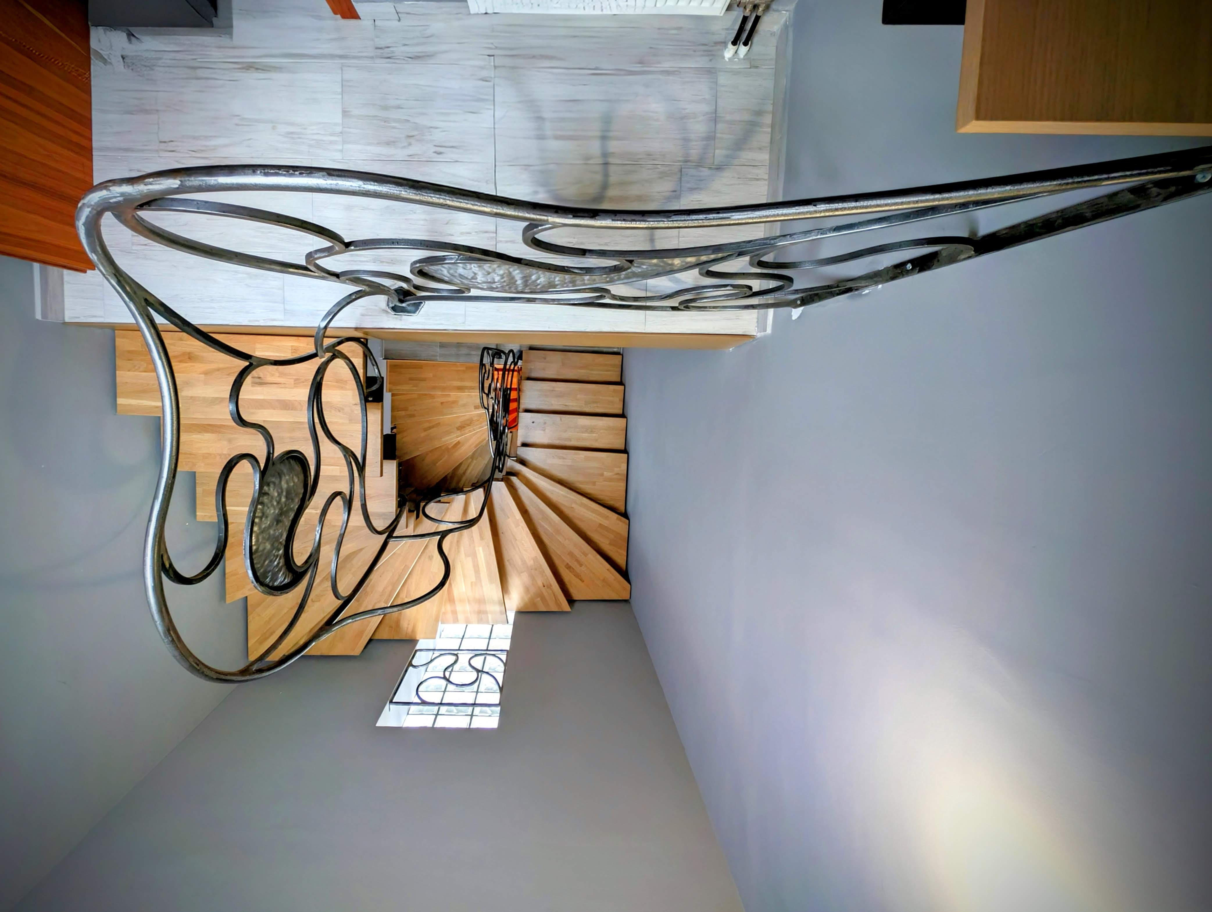
Iron4Bill Industrial Space
High-resolution interior documentation and progress mapping using Pixel 8 Pro.
HeliCam Aerial Photography Campaigns (Pre-Drone Era)
Pre-Drone Custom Helicopter Aerial Surveys
Before the commercial availability of multirotor drones, a custom aerospace setup was required to lift professional DSLR bodies. Explore our chronological campaigns (2008–2010) documenting Byzantine castle fortresses, towers, and infrastructure sites across Northern Greece, along with our official YouTube flight catalog.
Explore HeliCam Campaigns & Video Gallery