Heptapyrgion Fortress: Mapping Thessaloniki's Byzantine Walls
Spatial mapping and high-resolution documentation of the Heptapyrgion Fortress walls overlooking the Thermaic Gulf.
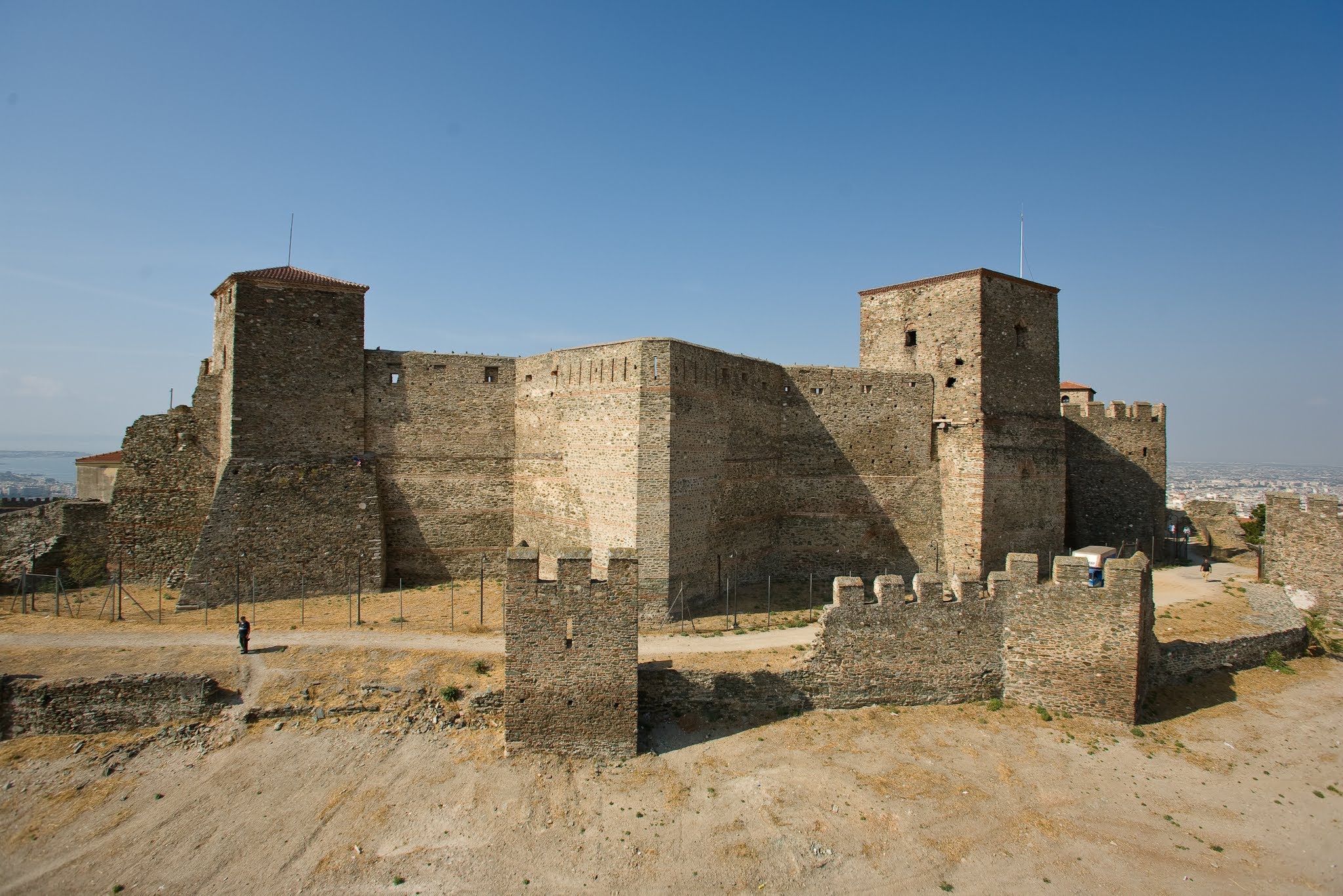
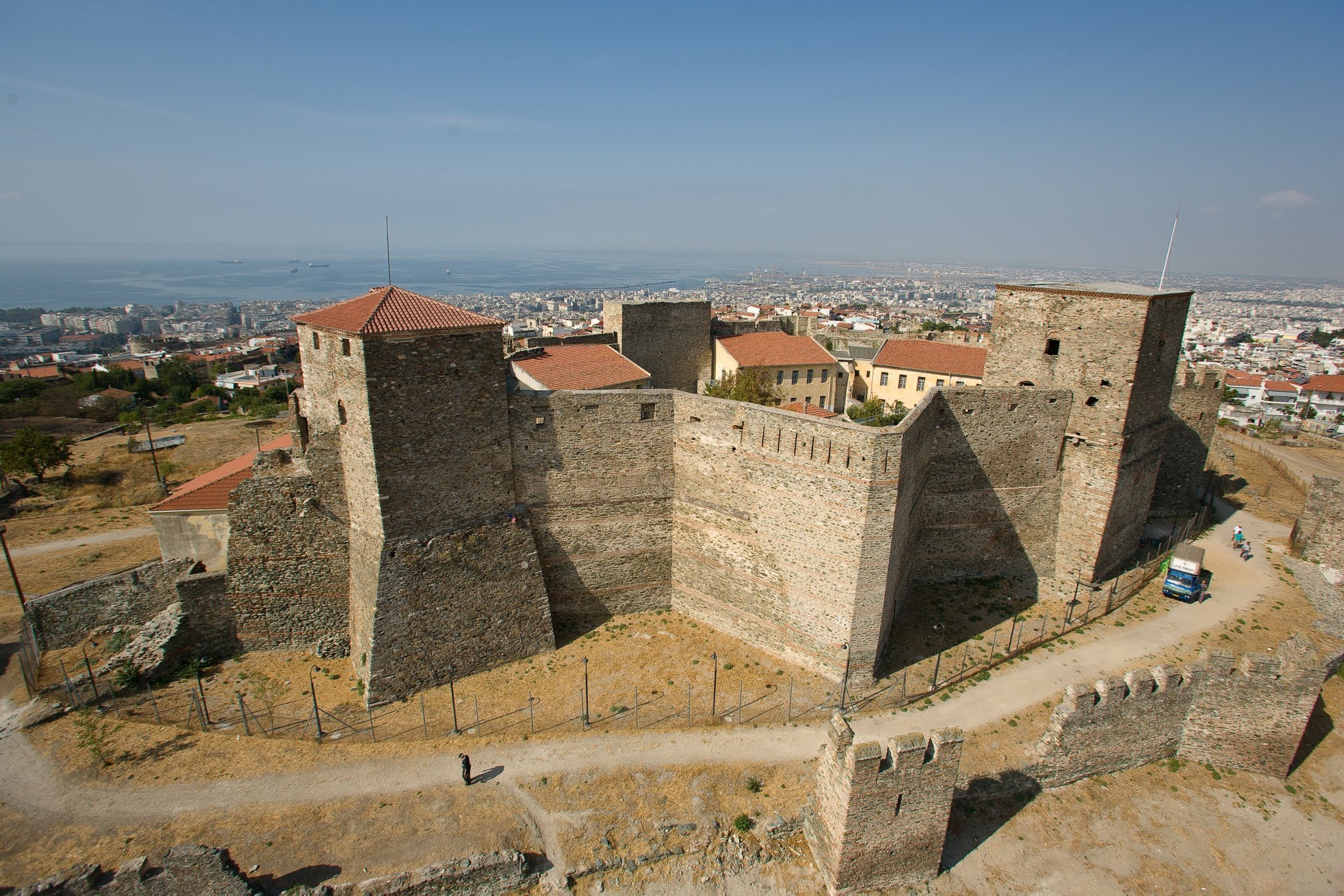
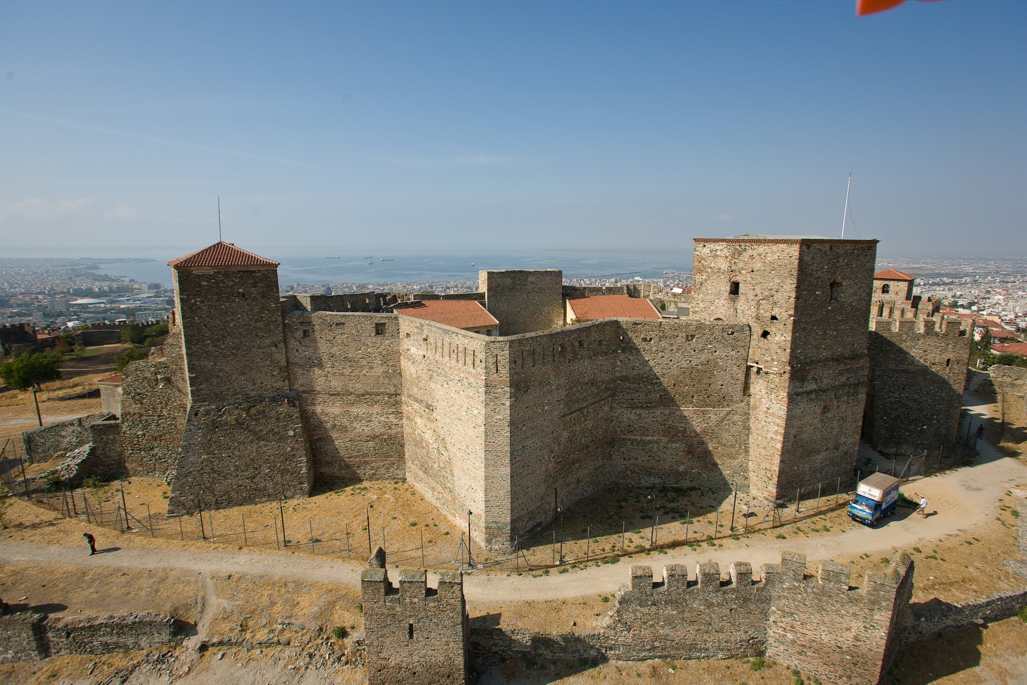
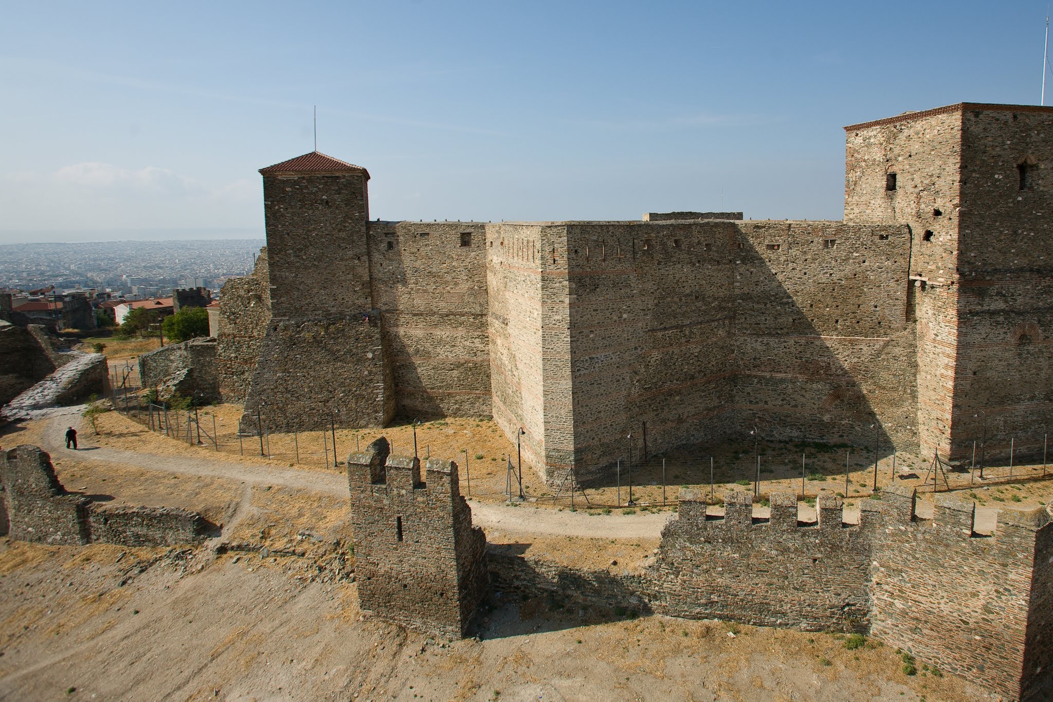
Perched on the ridge overlooking Thessaloniki, the Heptapyrgion Fortress (Yedi Kule) is one of the city's most iconic landmarks. Documenting its massive stone and brick fortification walls required precise nadir and oblique captures.
The HeliCam allowed us to map the entire heptagonal layout of the fortress, capturing details of the towers, bastions, and inner courtyards. The contrasting light of the late afternoon sun highlighted the textures of the ancient Byzantine and Ottoman masonry.
Technical Specs
- Date: June 2006
- Location: Eptapirgio, Greece
- Technology: Custom-built HeliCam Remote-Controlled Helicopter
- Imaging: DSLR Payload with Multi-Axis Gimbal Stabilization