Digital Imaging
Est. 1992
WorkServicesAboutJournalContact
Photography×
Siviri Coastal Infrastructure and Real Estate Mapping
Photography

Siviri Coastal Infrastructure and Real Estate Mapping

June 12, 2006

Aerial progress tracking of modern residential developments and seaside resorts in Siviri.

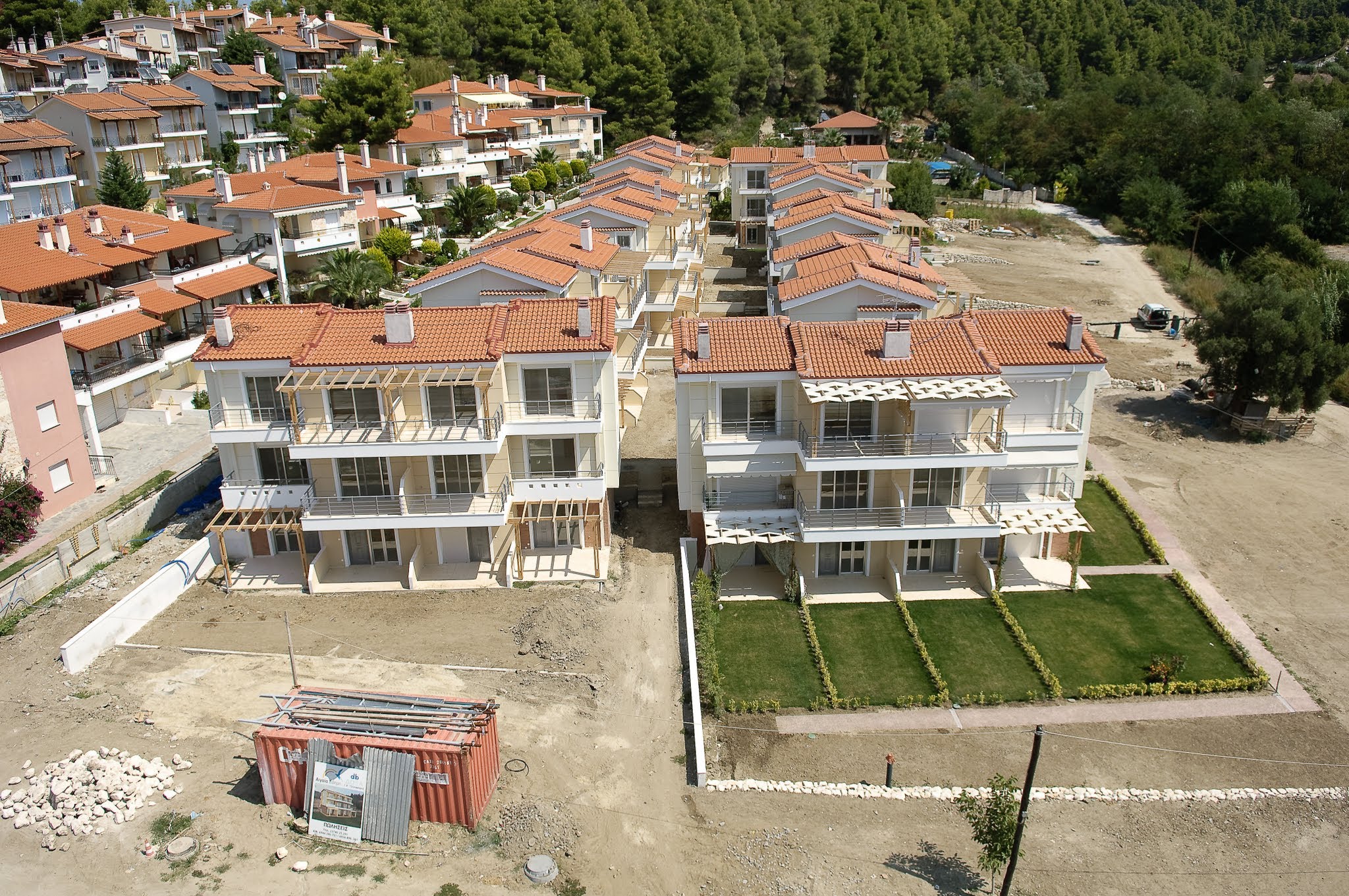
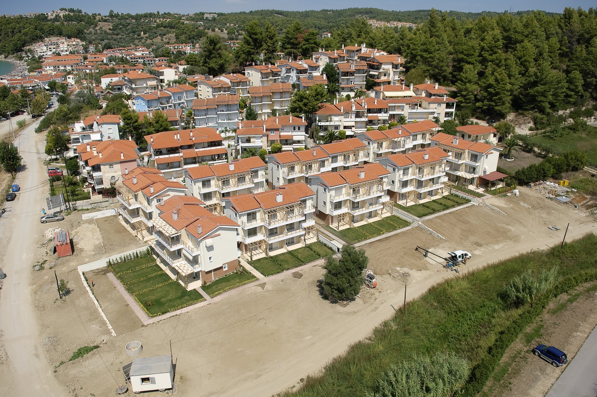
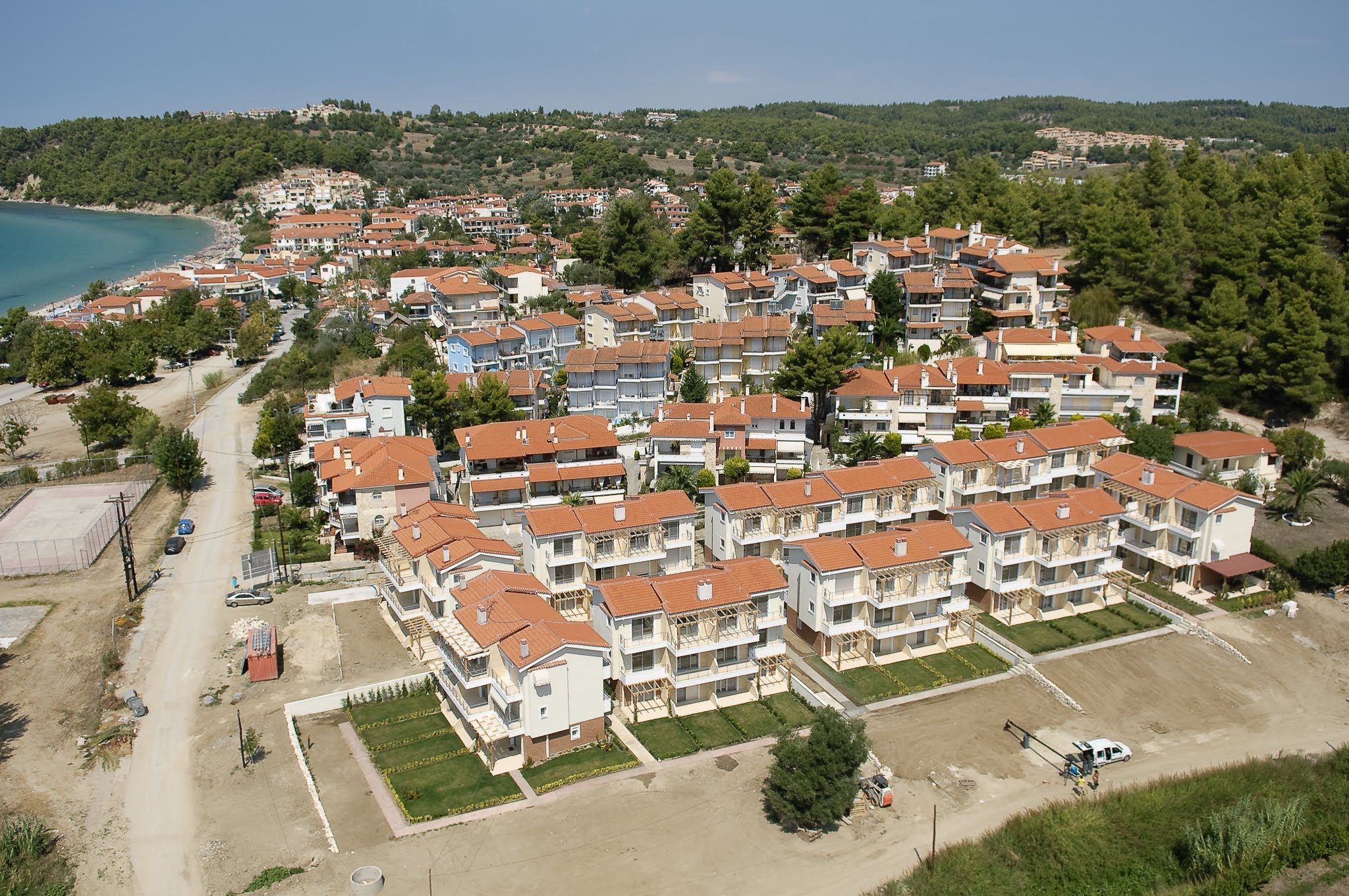
In Siviri, we mapped a series of modern holiday housing developments under construction.

These aerials documented the layout of the beige stucco townhouses, their orange tiled roofs, and the newly landscaped lawns, showcasing how the built environment borders the pine forests and sandy beaches.

Overview of Siviri Coastal Infrastructure and Real Estate Mapping

An angled aerial perspective of a modern hillside residential development in Greece, showing rows of identical townhouses with orange roofs and small lawn gardens.

High-angle aerial photograph of a modern residential development featuring terracotta-tiled roofs and landscaped yards, bordered by a dense pine forest.

High-angle aerial view of a seaside residential community with terracotta-roofed villas, bordering a sandy bay and nestled against a pine forest.

Technical Specs

  • Date: June 2006
  • Location: Siviri, Greece
  • Technology: Custom-built HeliCam Remote-Controlled Helicopter
  • Imaging: DSLR Payload with Multi-Axis Gimbal Stabilization