Mapping the Tower of Marianos in Agios Vasilios
Field journal documenting the aerial survey of the historic Byzantine Tower of Marianos near Agios Vasilios and Olynthos.
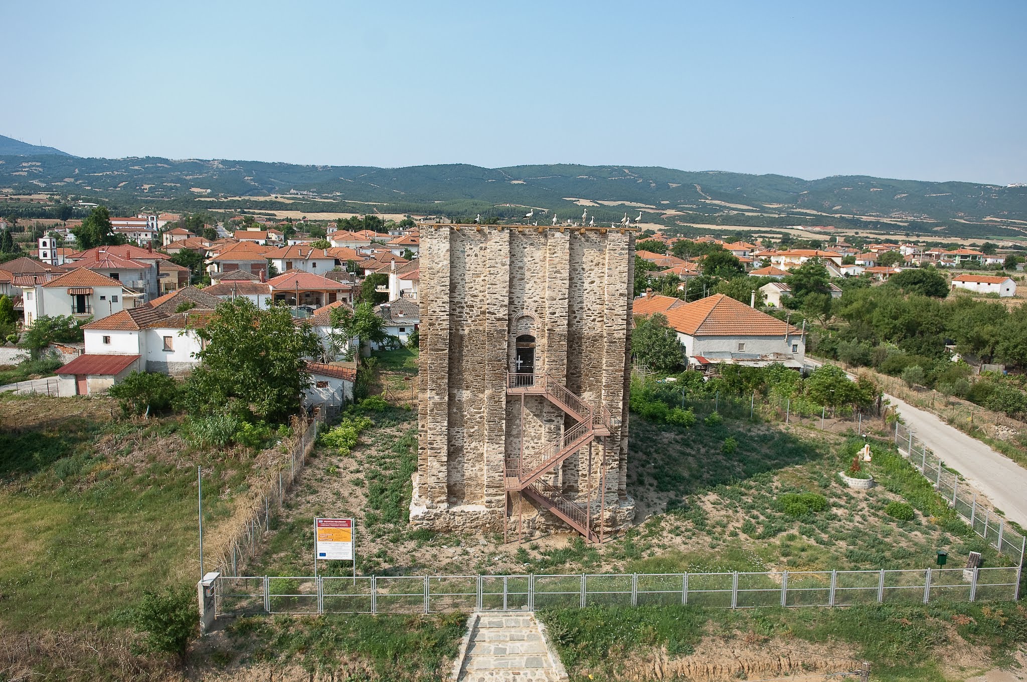
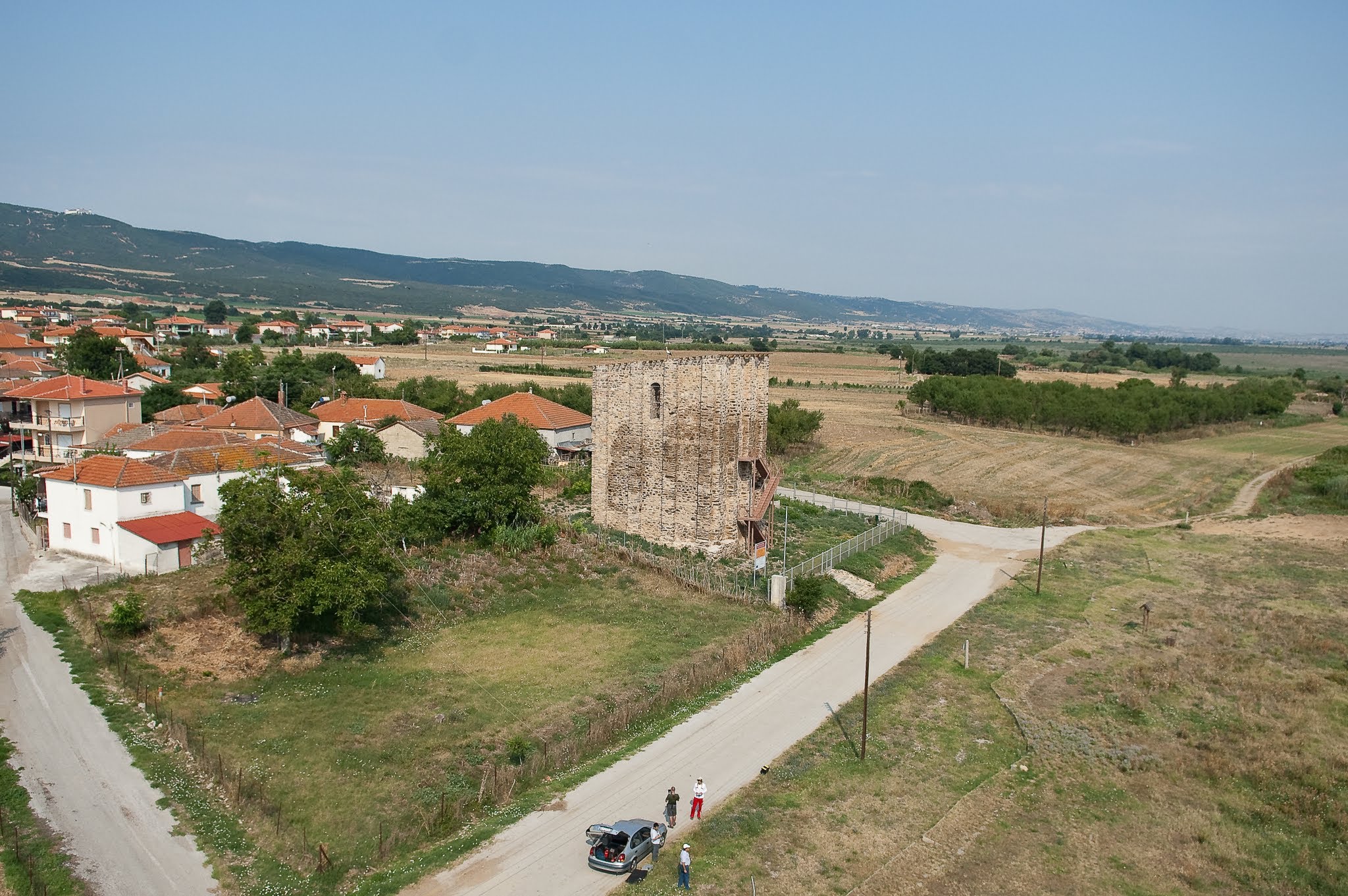
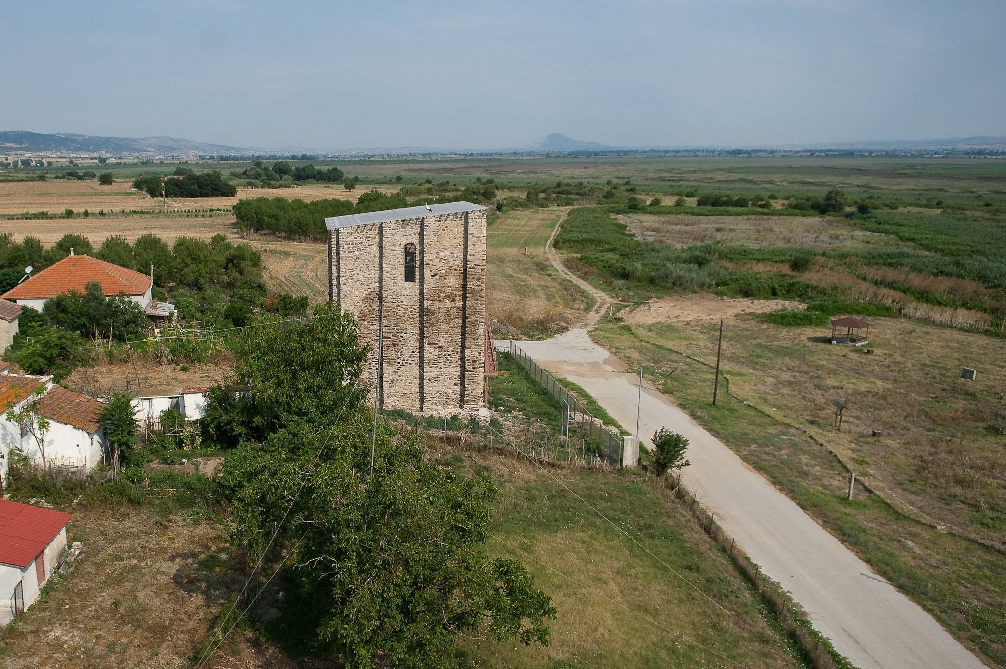
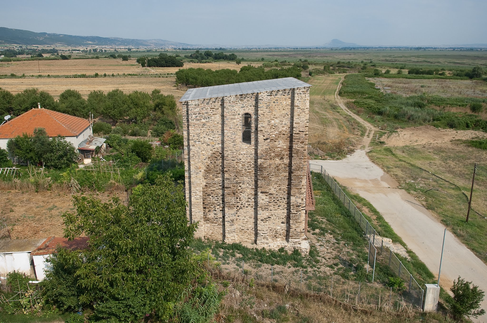
The Byzantine Tower of Marianos, standing near the ancient site of Olynthos, is a remarkable monument of medieval defense. In 2006, we set out to document its structural conservation and state.
Operating the HeliCam here was relatively straightforward compared to mountainous fortresses, as the surrounding terrain is flat agricultural plain. This allowed us to fly close to the tower's walls to inspect the stone and mortar masonry.
Interestingly, during our flight, we observed several storks nesting on the flat rooftop edge, adding a layer of natural history to our archaeological survey.
Technical Specs
- Date: June 2006
- Location: Ag. Vasilios, Greece
- Technology: Custom-built HeliCam Remote-Controlled Helicopter
- Imaging: DSLR Payload with Multi-Axis Gimbal Stabilization