Perspectives from above
Precision drone data acquisition for archaeological documentation and infrastructure monitoring.
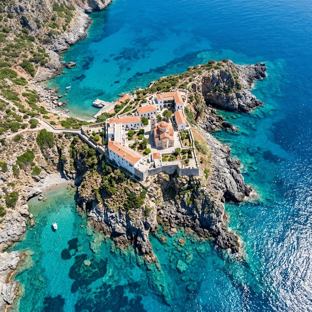
Photography & Aerial Perspectives
Sensor: 45MP Full-Frame
System: Drone & Ground
Byzantine Castle of Rentina
Nadir and oblique aerial survey of medieval watchtowers and churches nestled in forested mountain terrain.
Heptapyrgion Fortress Walls
Technical aerial documentation of the Byzantine and Ottoman fortification walls of Thessaloniki.
Medieval Fortress of Servia
Oblique and high-altitude mapping of castle ruins, towers, and defensive walls built along steep gorges.
Agios Vasilios Church Survey
High-resolution aerial photography capturing the geometry of the historic church and lake environment.
Siviri Coastal Infrastructure
Aerial tracking of concrete breakwater walls and coastal residential projects.
Metro Venizelou Rescue Excavations
Urban aerial photography mapping the uncovered Byzantine Decumanus Maximus road layers.
"Byzantine Echoes" explores the intersection of history and modern technology. Through high-resolution aerial photography, we uncover the skeletal beauty of ancient fortification walls and remote monasteries that once defined the Mediterranean heartland.
This project serves as a technical showcase for how drone photogrammetry preserves the ephemeral geometry of ruins, making inaccessible history available to the world in stunning, metric-accurate detail.
Global shutter sensors eliminate rolling distortion, ensuring every pixel maps to its true spatial coordinate.
Centimeter-level accuracy integrated directly into every raw frame, removing the need for manual site marking.
Permanent 3D records that resist erosion, enabling virtual study and cultural heritage monitoring.
Secure your perspective.
Collaborate on mission-critical imaging. From architectural heritage to industrial inspection.